
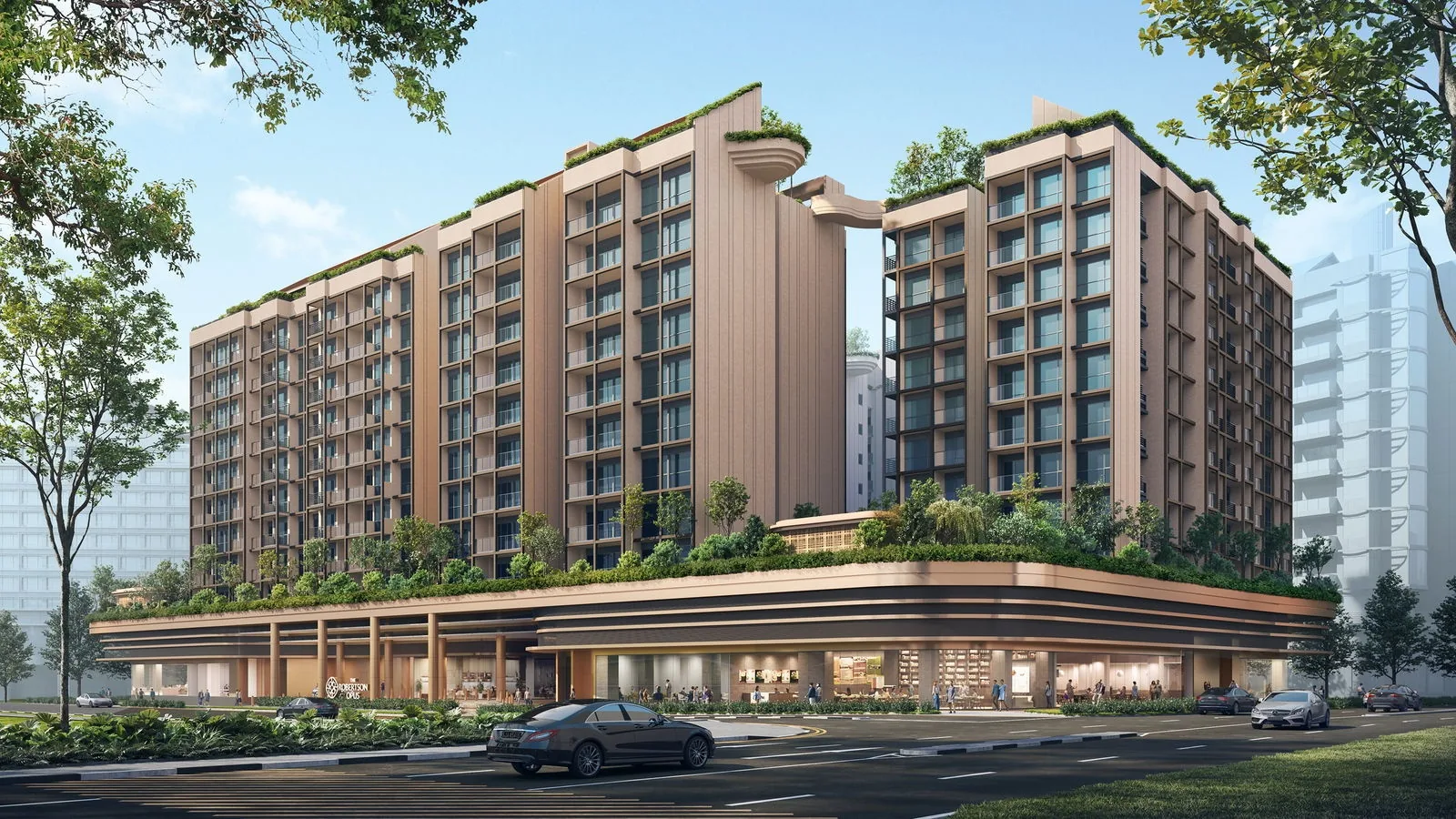
 Artist’s impression
Four MRT lines meet within about a kilometre of The Robertson Opus, and the nearest station is a few minutes’ walk away. This guide sets out where each station leads and how the roads connect the site to the city.
Fort Canning Station and The Robertson Opus
Fort Canning station (DT20) on the Downtown Line is about 285 metres from the site in a straight line on OneMap; its Exit A is about 265 metres away. The developer’s brochure places the station within 350 metres and about five minutes on foot.
From Fort Canning, the Downtown Line runs one way through Chinatown and Telok Ayer to Downtown and Bayfront, at the edge of Marina Bay, and the other way to Bencoolen and Jalan Besar, linking the site to the financial district and to the north-east of the city without a change of line.
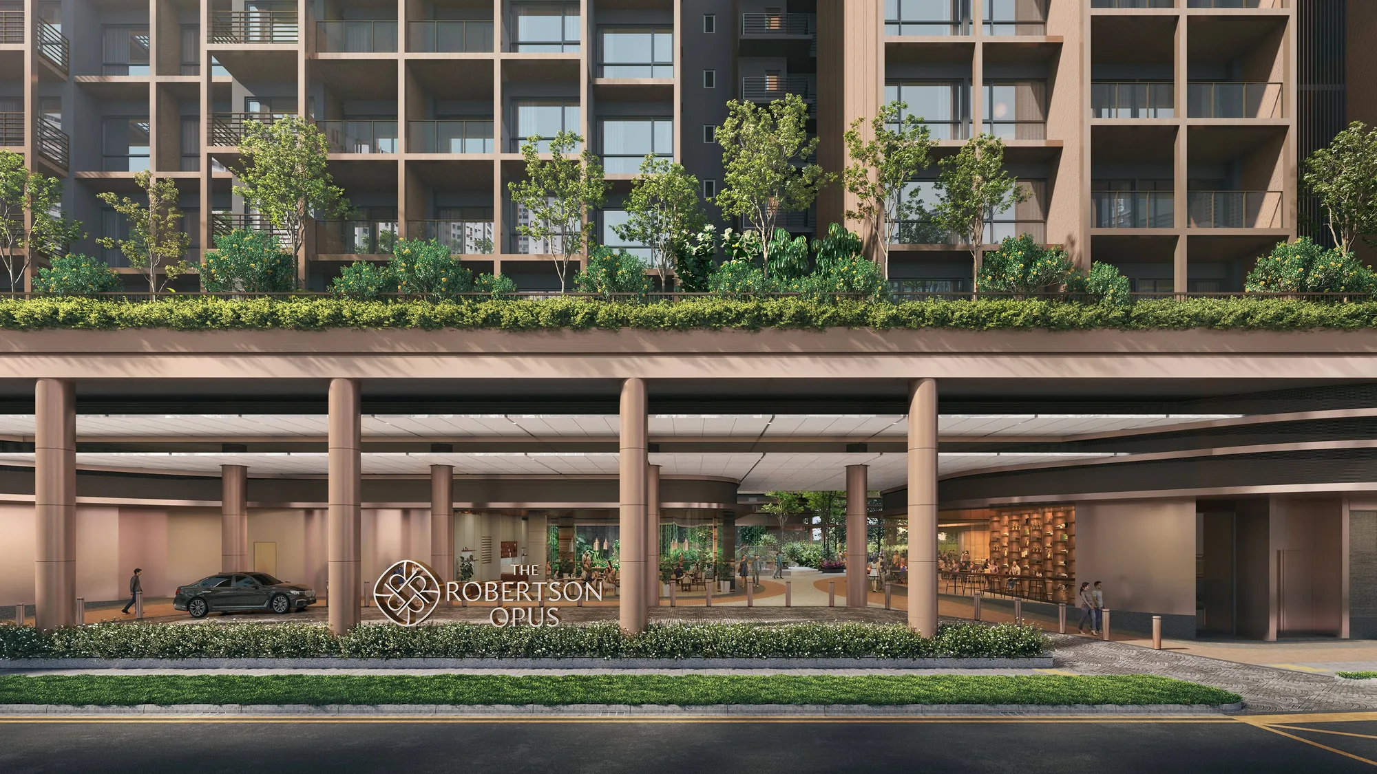
Clarke Quay, Great World and Dhoby Ghaut near The Robertson Opus
Clarke Quay station (NE5) on the North East Line is about 670 metres away, about twelve minutes on foot by the brochure’s figure. The North East Line runs south to Chinatown, Outram Park and HarbourFront and north to Dhoby Ghaut, Serangoon and Punggol.
Great World station (TE15) on the Thomson-East Coast Line is about 920 metres from the site, about four minutes by bicycle according to the brochure, with Orchard and Woodlands to the north and Havelock, Outram Park, Marina Bay and the east coast to the south and east. Dhoby Ghaut, an interchange of the North East, North-South and Circle Lines at the foot of Orchard Road, is about 940 metres away.
| Place | Straight line from the site |
|---|---|
| Fort Canning MRT station Exit A (DT20) | about 265 m |
| Fort Canning MRT station (DT20) | about 285 m |
| Clarke Quay MRT station (NE5) | about 670 m |
| Chinatown MRT station (NE4) | about 880 m |
| Great World MRT station (TE15) | about 920 m |
| Dhoby Ghaut MRT station (NE6) | about 940 m |
| Somerset MRT station (NS23) | about 960 m |
| Havelock MRT station (TE16) | about 1.0 km |
Measured on OneMap (SLA) from the site; walking routes are longer.
Roads and Driving from The Robertson Opus
Clemenceau Avenue, close to the site, carries traffic north to Orchard Road and south across the river to the Central Business District, and the site orientation plan in the factsheet marks the routes to the Central Expressway and the Ayer Rajah Expressway. The brochure gives Orchard Road as about five minutes by car and the Central Business District about seven.
Parking and Bicycles at The Robertson Opus
The residential car park on the second and third basements has 278 lots and two accessible lots, about 80 per cent of the homes, and bicycle parking sits on the first storey. The location page maps the stations around The Robertson Opus.
Book a Showflat Appointment for The Robertson Opus
The Sales Concierge sends the price list on request, the homes still available and the e-brochure for The Robertson Opus. Showflat viewings are arranged by appointment through the Sales Concierge.